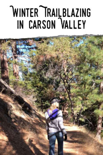
When I get outside, I always hope to be able to truly get away, both from crowds and the hustle and bustle of life. The best part about Carson Valley is that even during the winter, the trails are accessible and I’ve seen plenty of snow patches with three sets of prints: shoes, bike tires and animals. Nothing stops us from enjoying the outdoors. Whether you’re a runner, hiker or biker, these trails will give you stunning views of this beautiful valley from almost every direction.
That’s why our 60+ miles of trail are so perfect for stretching your legs and getting some exercise. Hiking near Tahoe can be calming and peaceful, with a few opportunities to wave hello to a passing stranger. Here are my top four favorite trails for winter hiking.
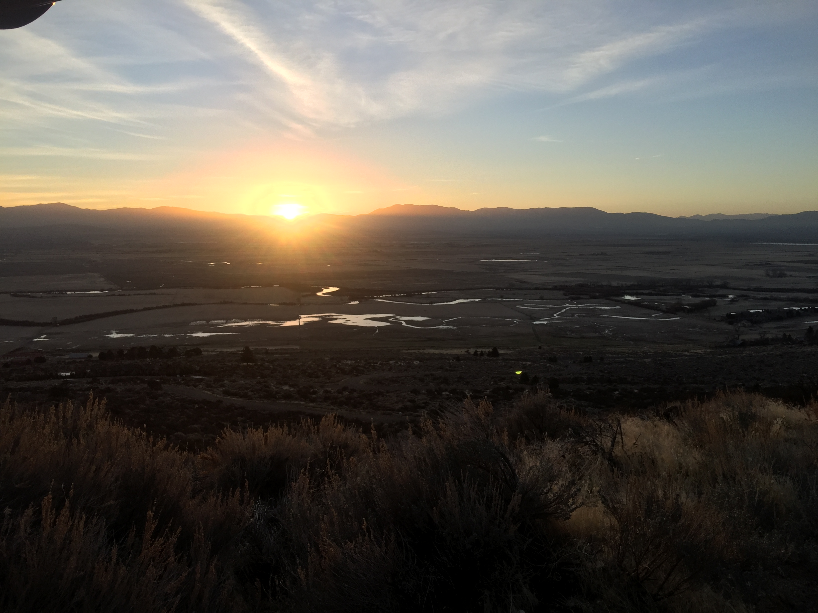
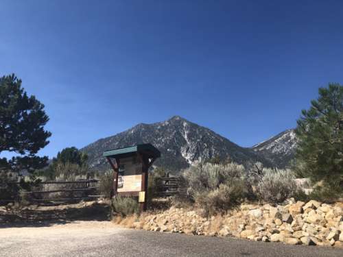
Pinyon Trail facing west
Pinyon Trail
This 5+ mile trail is in the Pine Nut Mountains. The last two miles of the approaching road switch from asphalt to dirt but never fear, it’s well maintained so you don’t need a 4×4 to reach it. The trailhead on the left is clearly marked and there’s always plenty of parking.
The dog friendly trail starts with a mile of sand and sagebrush, perfect for hikers and bikers, then junctions to a three-mile loop. For the best views of the valley on the east side of the range, I like to veer right. It also seems like there is more downhill towards the end which is nice for obvious reasons. But if you’re a rebel and like to experience things for yourself, you won’t be disappointed by starting out to the left.
Because of the mostly sandy trail, mud is less of an issue, although what’s wrong with a little mud?
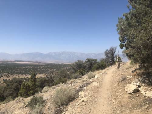
Clear Creek Trail looking south
Clear Creek Trail
Another dog friendly trail, this one is popular with mountain bikers. The recent extension means you can make it all the way to Spooner Summit should you so desire. As an aside, Spooner is a great place for snowshoeing so you can get outside and get some fresh air while crossing over the white stuff.
Take Jacks Valley Rd. from 395 and find the trailhead on the left just past Jacks Valley Elementary School. The trail crosses 395 so you can use the school parking lot as overflow if the small lot is full.
This trail is sandy, and gives a different perspective of the valley as well as a more mountainous feel than Pinyon. Run alongside enormous boulders, and get a view from the north end of Carson Valley.
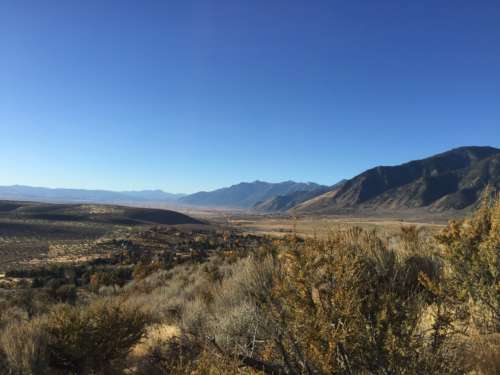
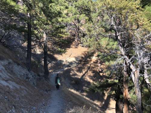
Jobs Peak Ranch trail
Jobs Peak Trail
Just south of Genoa is the Fay-Luther/Jobs Peak Ranch Trail System. There are two well marked trailheads along Foothill Rd. Fay-Luther is an amazing hike starting as sand then getting to the harder packed dirt trails. It’s also a longtime favorite, so expect to see fellow hikers, and often horses, enjoying the trails.
For a less frequented spot with lots to offer, I start off from Jobs Peak Ranch. It kicks off with a relatively flat half mile of sand, then get ready for some uphill. The trail borders private property almost the whole way, however the stream and gentle meadow more than make up for it. At about the 1.5 mile mark you emerge from the pine trees and reach the junction where Fay-Luther and Jobs Peak trails meet. By no means do you need to stop here. Go just a bit farther and enjoy some quiet time on a bench, or kick into high gear and head down Fay-Luther. You’ll cross a couple more streams, which is great when you’re four-legged friend joins you, especially in the summer.
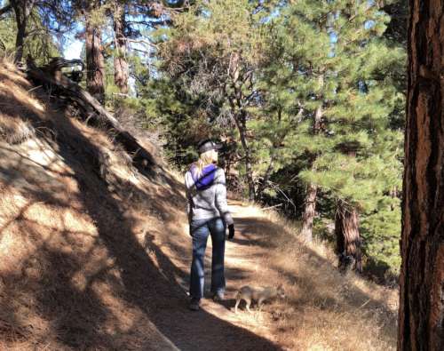
Eagle Ridge Trail in Genoa
Genoa Trail System
My favorite place to set out is the Eagle Ridge trail head, but any of the three access points are equally fun. Don’t wear your good shoes on this hike, as there can be patches of mud and slushy snow. But don’t let that dissuade you! There are also patches of pine needles that make you slow down just to breathe in the forest fragrance and listen to the soft crunch under your feet. Areas that regularly see sunlight are quite dry and make the slushy parts worth it.
The Genoa trails weave you in and out of forest, rocky canyons and ravines, and small creeks. There’s a waterfall three miles in from the Genoa Canyon Trailhead which makes a refreshing picnic destination any time of year.
Whichever trail you choose, you’re bound to be delighted. But don’t just take my word for it, visit the Carson Valley Trails Association website to get a feel for the entire trail network. Download this Google Map link of the trails in Carson Valley to your phone or desktop for easy reference. Then hop over to our Dining Page to decide where to fill up after your day out.
Heidi Saucedo is a mom, runner, and local trail fan.